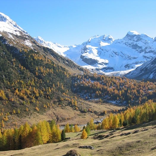
Completely surrounded by greenery, the Val Viola (which takes its name from the stream of the same name that crosses it) represents a real natural oasis, dotted with ancient huts and traditional houses, still used today by farmers to spend the summer in the pasture with livestock, for milking and the production of alpine cheese.
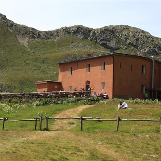
The valley is surrounded by imposing mountains such as Cima Piazzi (3,439 metres), Cima Viola (3,374 metres) and Cima Dosdé (3,280 metres).
This e-bike route goes uphill towards the Fraele towers in Valdidentro up to the flat road (10 km long) called Decauville which will take us up to Arnoga.
From here we continue into the wonderful Val Viola with the possibility of stopping at mountain huts or in the picnic area.
Why visit Val Viola with a guided tour?
Take on this route with an expert guide, capable of letting you savor all the details and secrets of our mountains.
Contact Bormio Rental for more information: