
Go up to the mountain with our lifts and discover the best trekking routes that Mount Vallecetta offers you. We have selected for you a list of the most interesting itineraries for summer hikes, many of which are, among other things, cataloged among the classic paths in the official cartography of the Comunità Montana Alta Valtellina.
You can choose six itineraries of medium-easy difficulty: three starting from the "mid station", i.e. Bormio 2000, and another three starting from the summit, i.e. Bormio 3000.

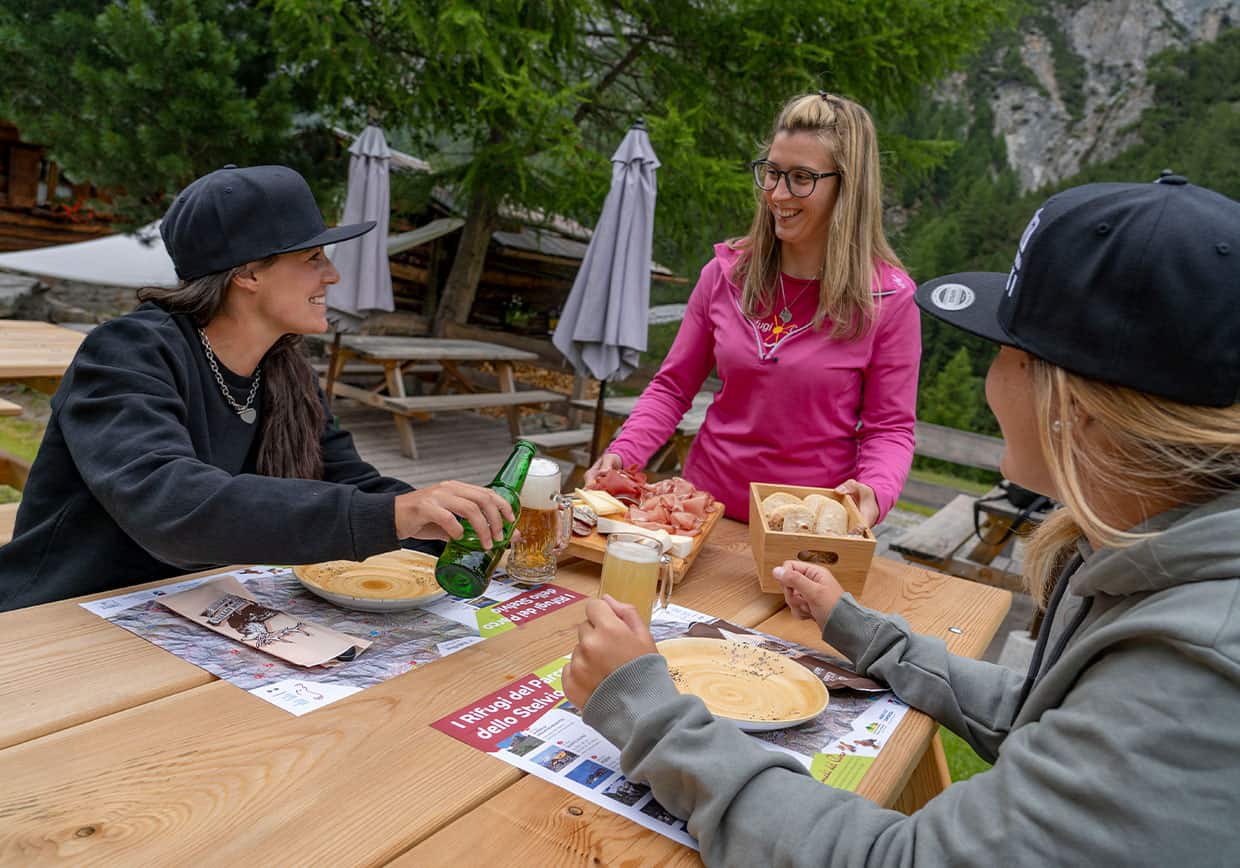
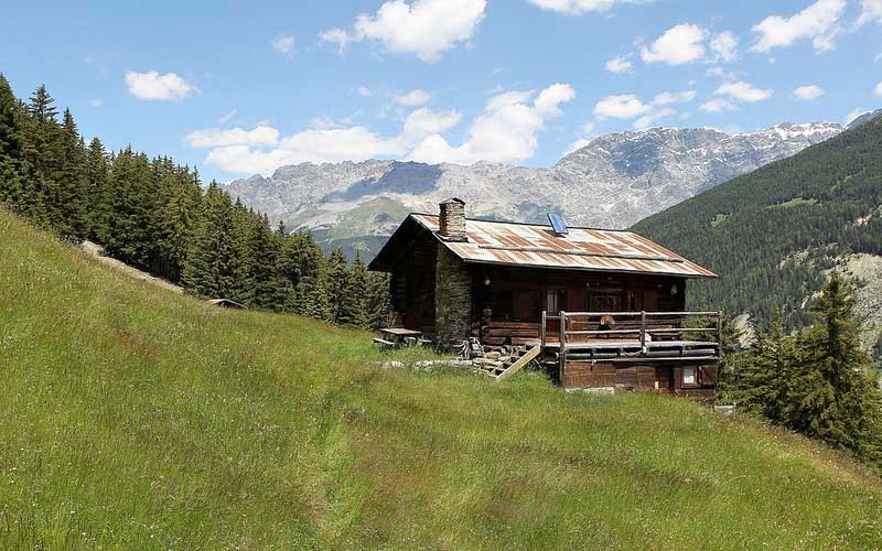
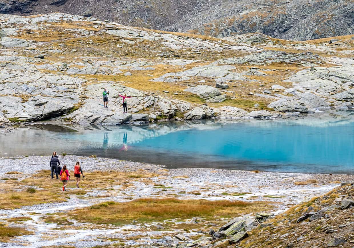
The mountain of Bormio in summer is perhaps the natural place that offers the most surprises. Sports lovers can go trekking among the natural landscapes of high altitudes, combining effort with pleasure thanks to the magic of the panorama; and those who simply want to admire the summer mountain peaks can go on easier hikes in the company of their family. But trekking in the mountains doesn't just mean walking in the wild and unspoiled nature; it also means taking a well-deserved break in a hut where you can savor the best of Valtellina food and wine specialties and enjoy the hospitality of the mountain people.
discover the maps of Bormio’s trails
Bormio not only offers breathtaking landscapes and unforgettable memories for those who stop here while travelling; the resort in the heart of Valtellina has all the credentials to be a real landmark for trekking lovers.
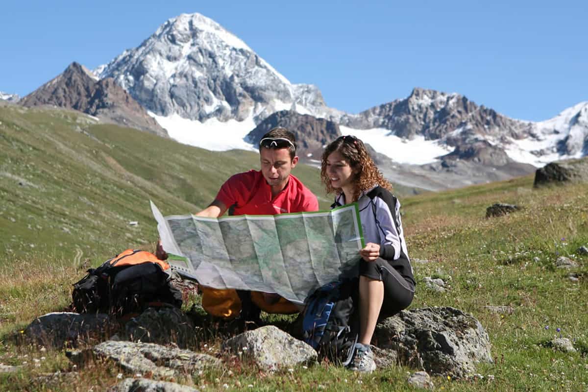
The mountain trails of Bormio are suitable for sports and movement lovers who want to get in touch with nature. Discover the maps of our trails and dive to discover the high altitude.
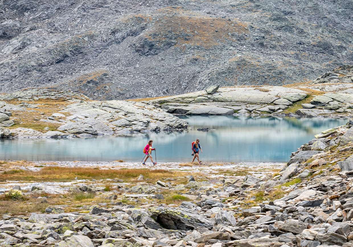
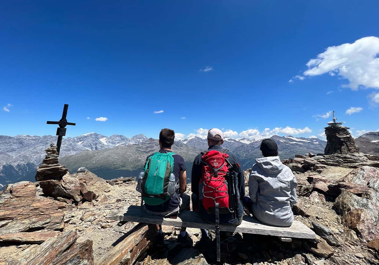
The mountain of Bormio manages to give great emotions to adrenaline lovers and to those who love to experience the reckless side of high altitude, but not only: the peaks of Valtellina manage to meet the needs of everyone, young and old.
If you are not a lover of daring journeys, but you still don't want to give up getting in touch with unspoiled nature, you can look for the simpler hikes on the mountain of Bormio: the difficulty decreases, but the evocative experience is the same.
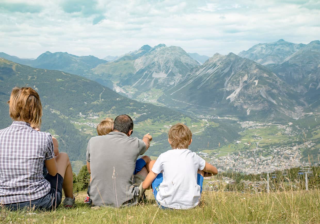
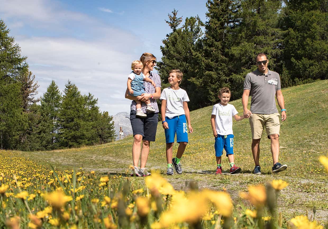
And what if you choose to come to Bormio with children? The many mountain paths are able to satisfy even those who come hiking in the mountains with the family: the easy walks allow the little ones to savor the mountain breeze and have an unparalleled experience to tell.
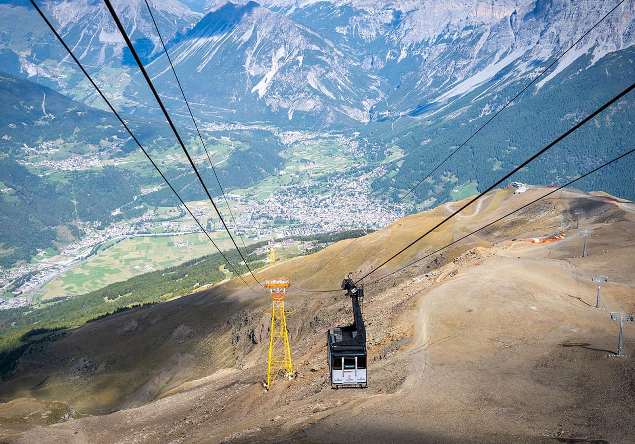
If you come to Valtellina you cannot fail to pass by the alpine place par excellence: Bormio 2000. In fact, high-altitude hikes certainly have a different flavour.
It can be reached on foot or by cableway: thanks to our lifts, it is possible to reach the destination in complete comfort and then only give vent to the desire for adventure.
Once in Bormio 2000 you just have to choose the trail you prefer and start your outdoor adventure.
- Sobretta Mountains
- Bormio 2000 – Bormio
- Bormio 2000 – Santa Caterina
20KM - 5/6 hours
Arm yourself with a camera and capture every moment of a breathtaking landscape!
5.5KM - 2 hours
11.66KM - 3 hours
14.11KM - 3/4 hours
14.97KM - 4/5 hours
2.03KM - 1 hour